Trails of Interest
This is a collection of the trails that are available at various refuges within the Central Washington National Wildlife Refuge Complex and the Mid-Columbia National Wildlife Refuge Complex
 Click for Larger Map
McNary National Wildlife Refuge
US Fish and Wildlife website for McNary National Wildlife Refuge
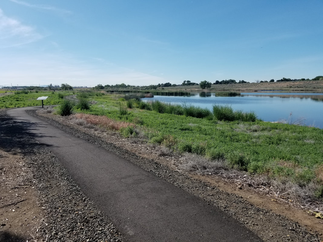
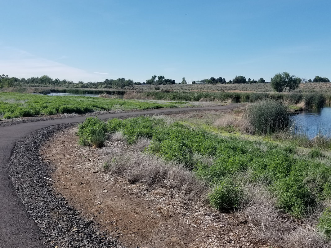
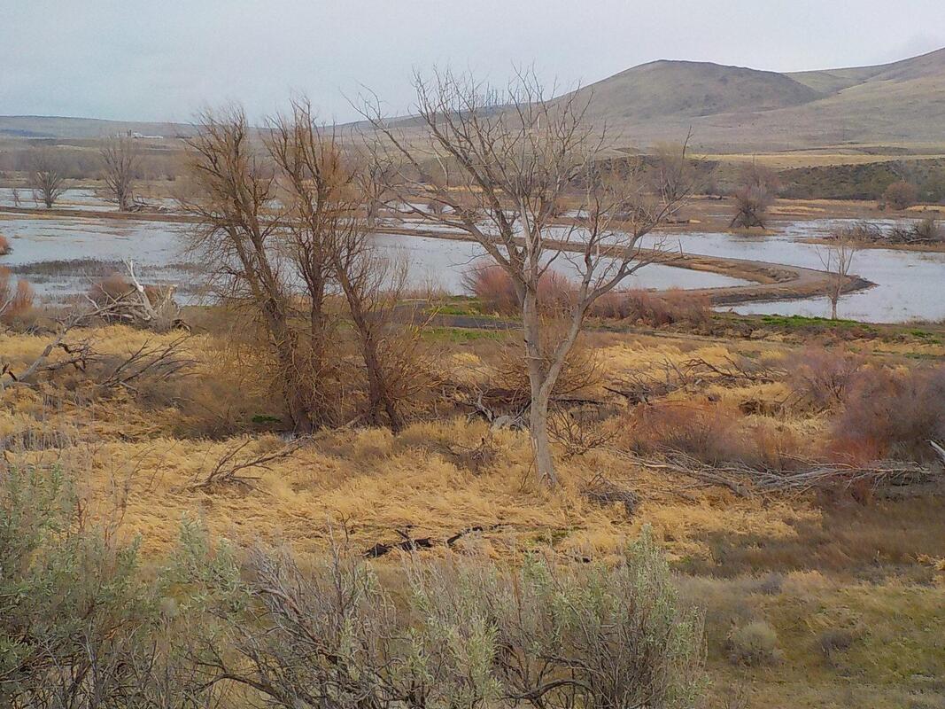
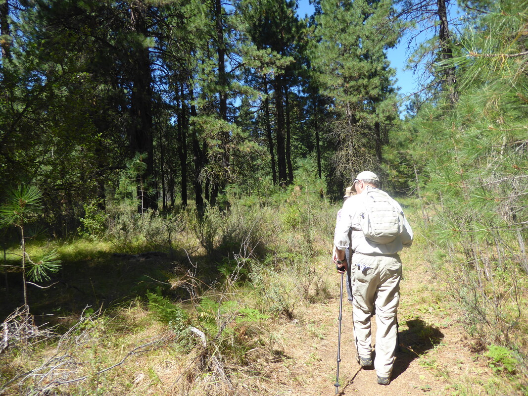
The Quail Trail at McNary Slough
A two mile self-guided interpretive trail guides you along the Burbank Slough at the McNary National Wildlife Refuge. This paved wheel chair accessible trail, starting at the Education Center, provides an easy way to explore the birds with some flying very near to you. You may also observe animals that make this their home on the land and in the water. The trail includes an enclosed bird blind with many observation and photographic opportunities.
Paving the trail was paid for with Recreation Fee dollars, which is money collected from activities that occur on the refuges (hunting, kayaking, etc.). Friends of Mid-Columbia River Wildlife Refuge continue to offer support, provide feedback and suggestions for improvements. US Department of Fish and Wildlife personnel continue to improve the trail with interpretative signs, possibly some benches, and additional "exploration zones" in the future. They are currently seeking a Federal Lands Access Program grant to continue the trail all the way out to Highway 124 where WSDOT will create improvements that will connect it to trails in Hood Park on the other side.
US Fish and Wildlife website for McNary National Wildlife Refuge
The Quail Trail at McNary Slough
A two mile self-guided interpretive trail guides you along the Burbank Slough at the McNary National Wildlife Refuge. This paved wheel chair accessible trail, starting at the Education Center, provides an easy way to explore the birds with some flying very near to you. You may also observe animals that make this their home on the land and in the water. The trail includes an enclosed bird blind with many observation and photographic opportunities.
Paving the trail was paid for with Recreation Fee dollars, which is money collected from activities that occur on the refuges (hunting, kayaking, etc.). Friends of Mid-Columbia River Wildlife Refuge continue to offer support, provide feedback and suggestions for improvements. US Department of Fish and Wildlife personnel continue to improve the trail with interpretative signs, possibly some benches, and additional "exploration zones" in the future. They are currently seeking a Federal Lands Access Program grant to continue the trail all the way out to Highway 124 where WSDOT will create improvements that will connect it to trails in Hood Park on the other side.
Photos by Duane Klotz
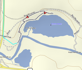
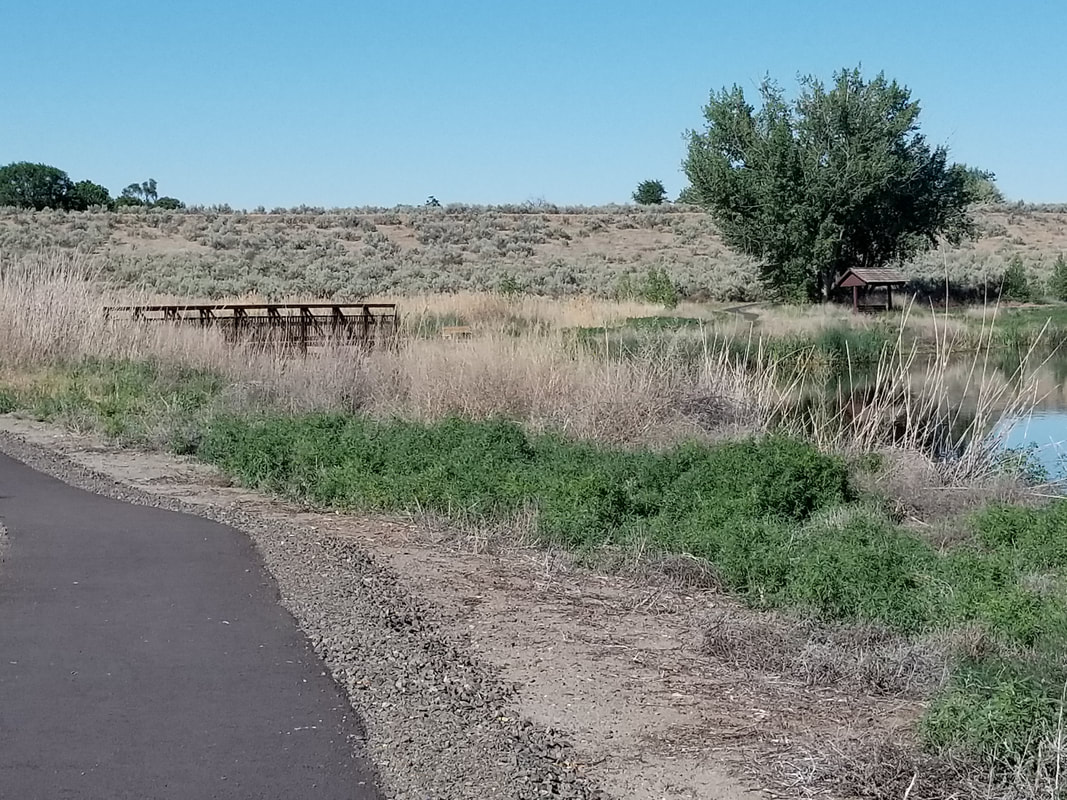
Wallula Trail
Wallula Trail Map
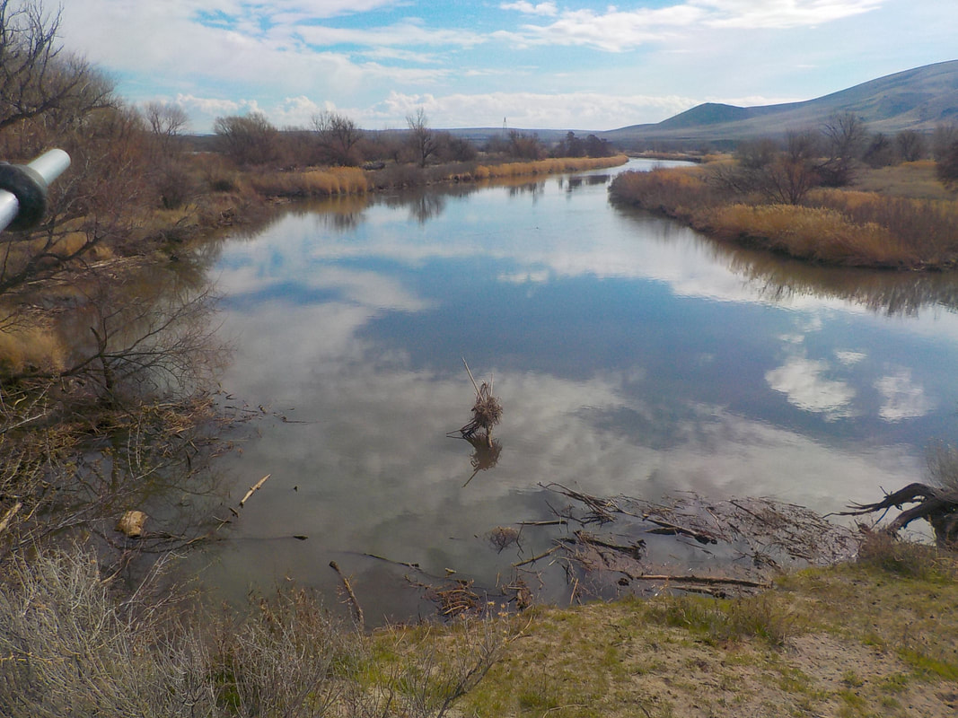
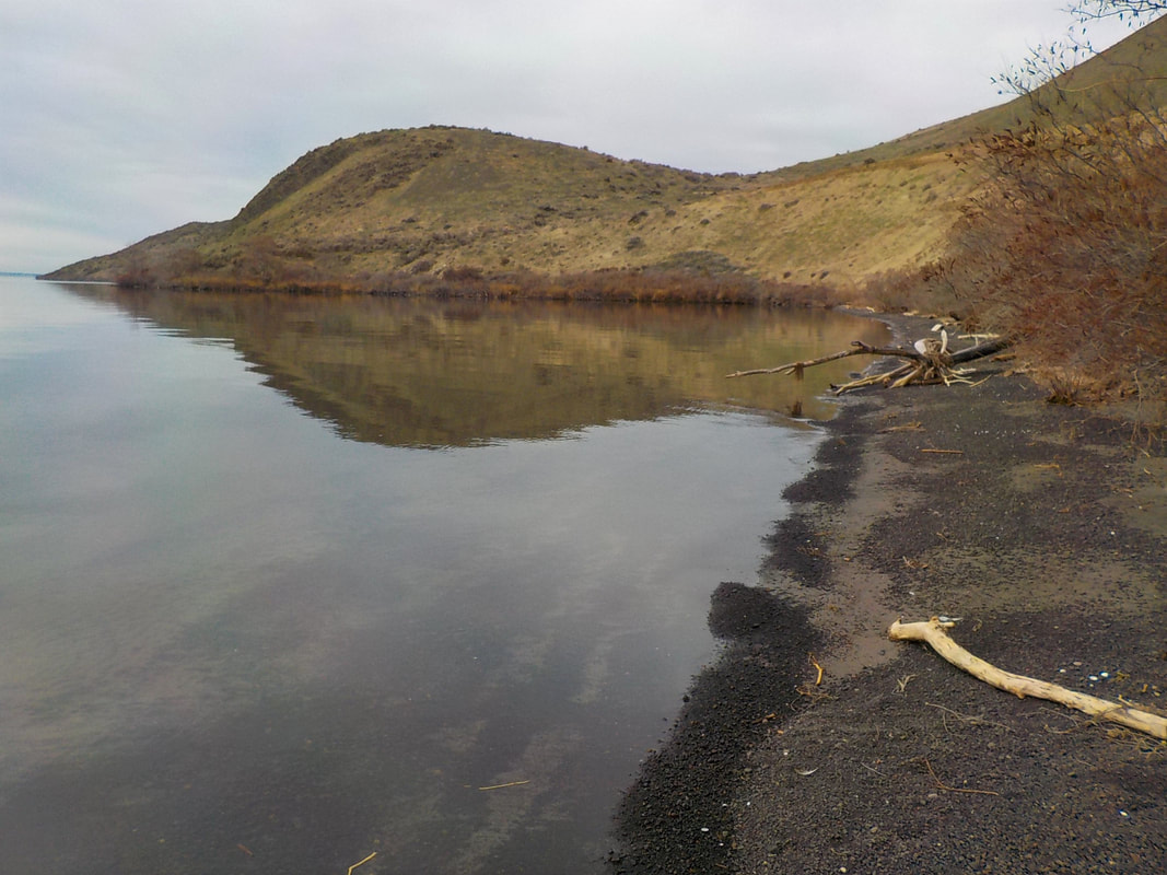
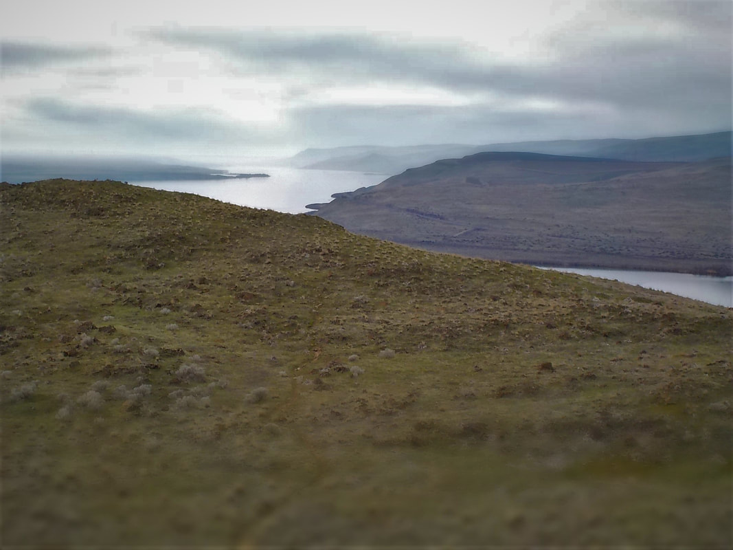
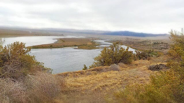
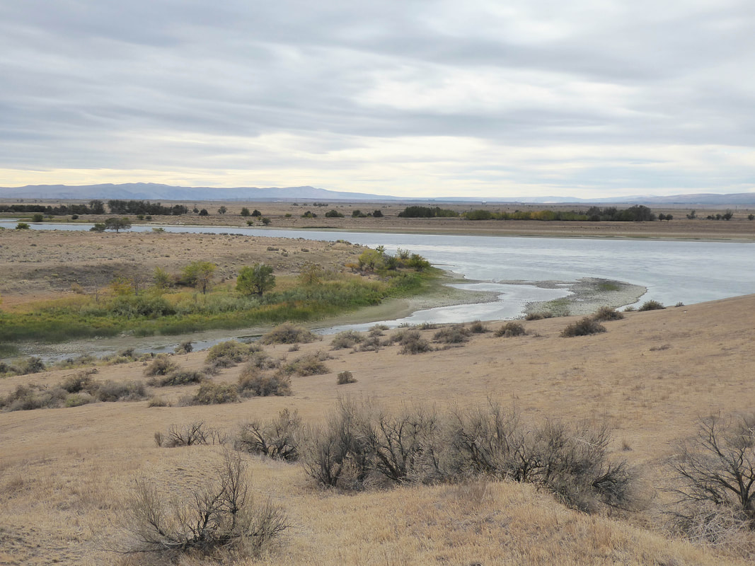
This 4 mile (one-way) hiking or horse-back riding trail is located in the Wallula Unit of McNary Wildlife Refuge. This area will treat you to views of the Walla Walla River, the bird-rich wetlands of White-Tailed Bay, Sanctuary Pond, Millet and Woodland ponds, in addition to possible sightings of deer and coyote, upland birds such as turkeys, and small mammals. Look closely in the riparian trees.
Many people know this area as Madame Dorian Memorial Park, but the area is operated by the US Fish & Wildlife Service and is a unit of the Refuge. Camping is prohibited. The trail is marked through vegetated but solid sand dunes, between the Walla Walla River and North Shore Road. ( For background on Madame Dorian, click here). The best map (although the trail is not marked on the map) is the Wallula Unit Hunt “tear sheet”.
Here is a map of a one mile out and back walk that include stopping by the view point.
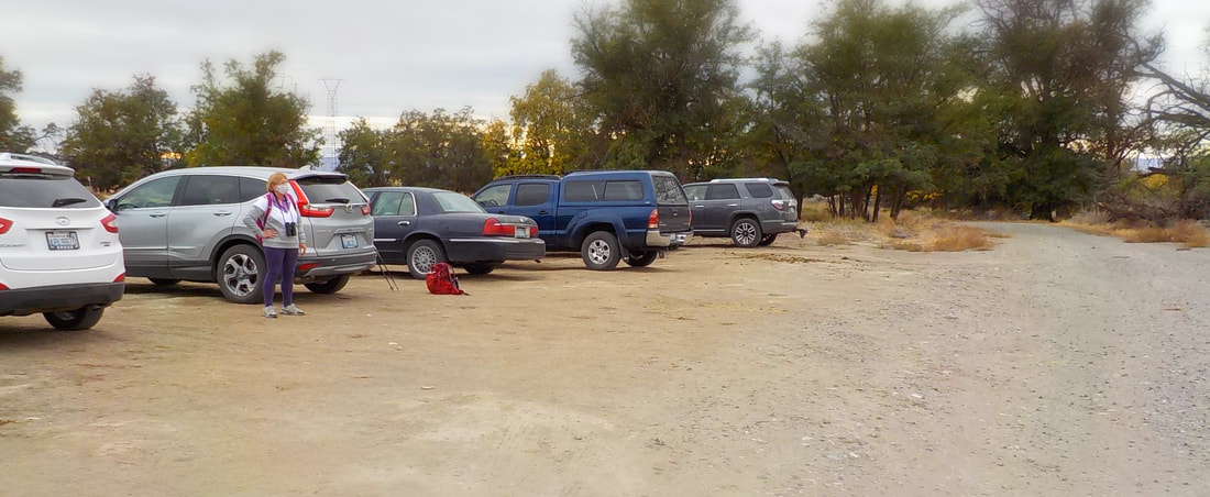
To reach the trail head drive highway 12 and turn east on North Shore Road. Drive a short distance (138 feet) and turn right. Pass the Madame Dorian Memorial sign and find the boat launch. It’s a long, rectangular parking area with a porta potty and picnic table(s). Start walking at the east end of the parking area on a good trail, marked with carsonite trail signs (long, skinny, flexible brown signs) . At the time of writing, the trail head sign is missing. After hiking the 4 mile trail, (maybe extending it by walking down the unpaved roads to the river), you can return the way you came or return on North Shore Road, which will afford you a view of the River from a higher elevation. You can also park a shuttle vehicle at the end of the trail if you want to shorten your walk .For your enjoyment and safety, avoid the area in the morning during waterfowl hunting season which closes after 1:00 pm daily. Phone the Refuge at 509.546.8300 for hunt season dates.
Wallula Trail Map
This 4 mile (one-way) hiking or horse-back riding trail is located in the Wallula Unit of McNary Wildlife Refuge. This area will treat you to views of the Walla Walla River, the bird-rich wetlands of White-Tailed Bay, Sanctuary Pond, Millet and Woodland ponds, in addition to possible sightings of deer and coyote, upland birds such as turkeys, and small mammals. Look closely in the riparian trees.
Many people know this area as Madame Dorian Memorial Park, but the area is operated by the US Fish & Wildlife Service and is a unit of the Refuge. Camping is prohibited. The trail is marked through vegetated but solid sand dunes, between the Walla Walla River and North Shore Road. ( For background on Madame Dorian, click here). The best map (although the trail is not marked on the map) is the Wallula Unit Hunt “tear sheet”.
Here is a map of a one mile out and back walk that include stopping by the view point.
To reach the trail head drive highway 12 and turn east on North Shore Road. Drive a short distance (138 feet) and turn right. Pass the Madame Dorian Memorial sign and find the boat launch. It’s a long, rectangular parking area with a porta potty and picnic table(s). Start walking at the east end of the parking area on a good trail, marked with carsonite trail signs (long, skinny, flexible brown signs) . At the time of writing, the trail head sign is missing. After hiking the 4 mile trail, (maybe extending it by walking down the unpaved roads to the river), you can return the way you came or return on North Shore Road, which will afford you a view of the River from a higher elevation. You can also park a shuttle vehicle at the end of the trail if you want to shorten your walk .For your enjoyment and safety, avoid the area in the morning during waterfowl hunting season which closes after 1:00 pm daily. Phone the Refuge at 509.546.8300 for hunt season dates.


Photos by Jaynee Levy and Wes McIntyre
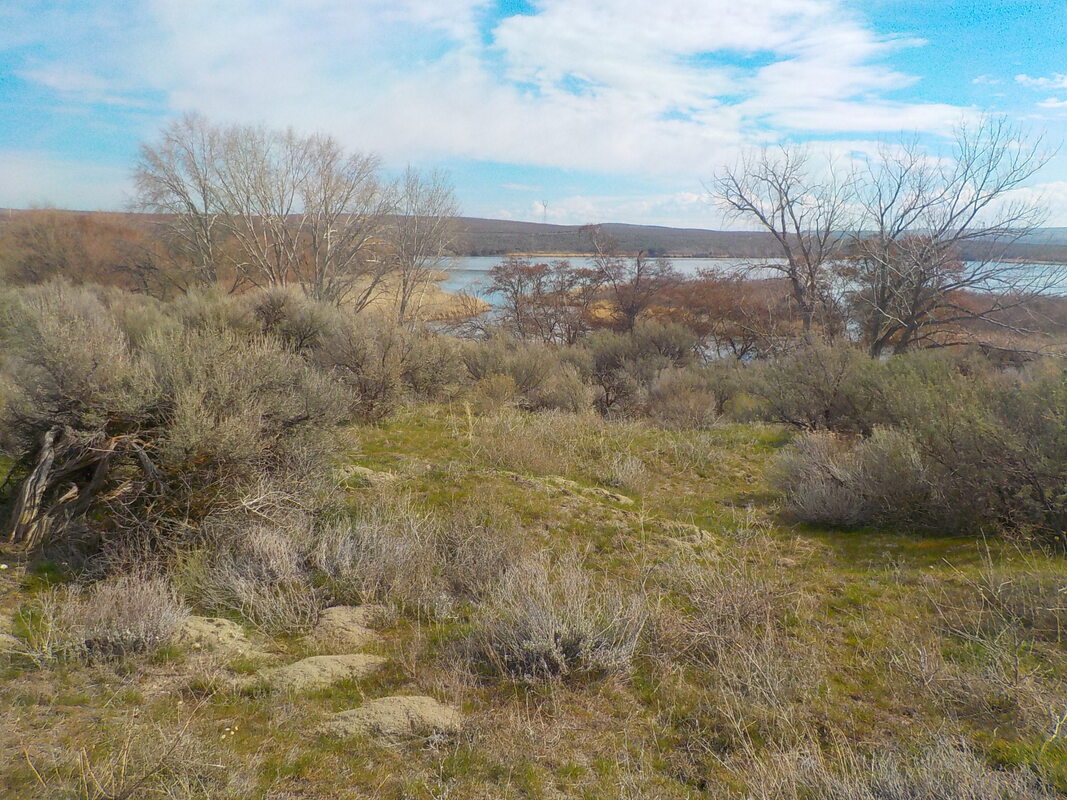
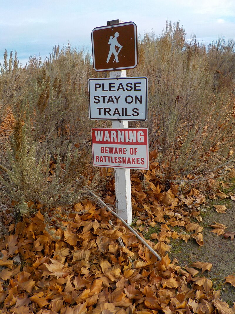
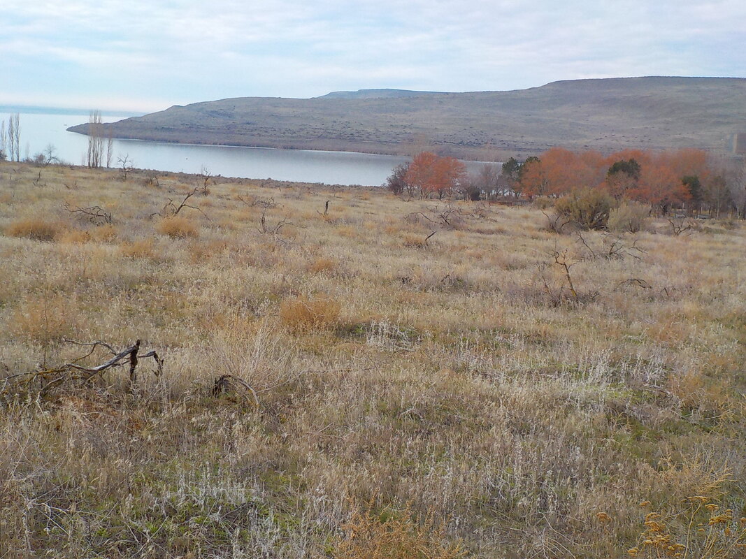
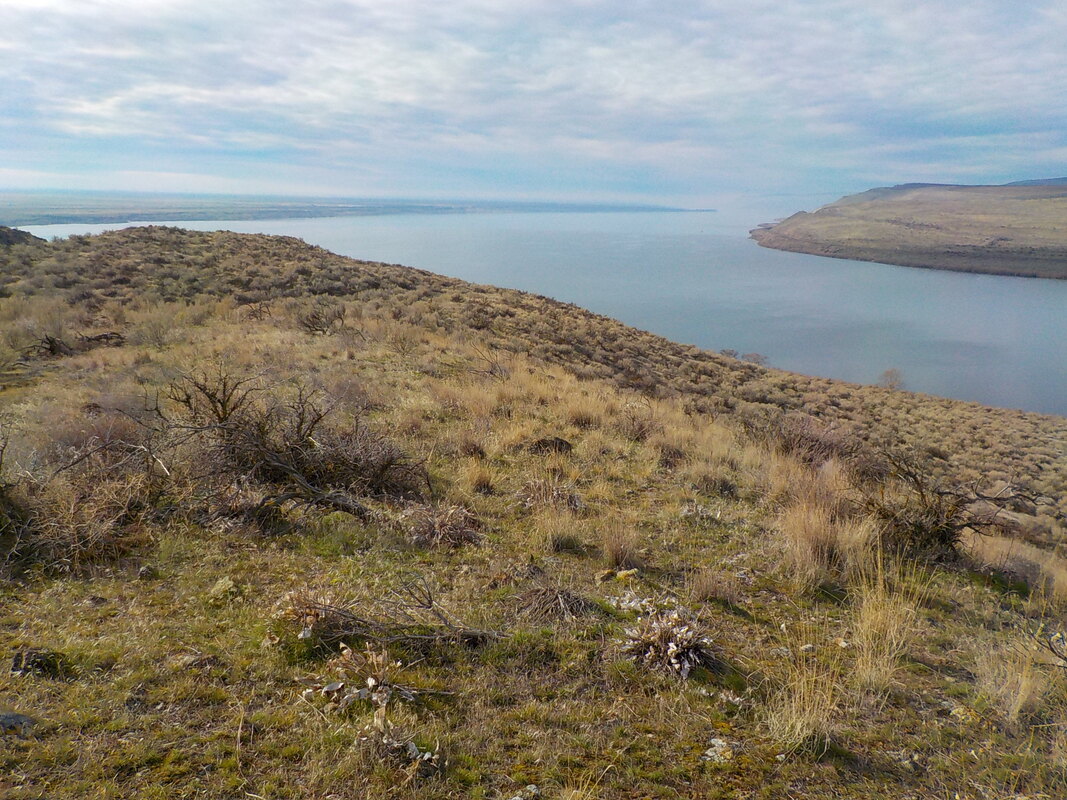
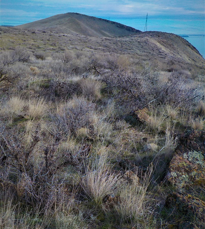
Crow Butte area, Umatilla National Wildlife Refuge
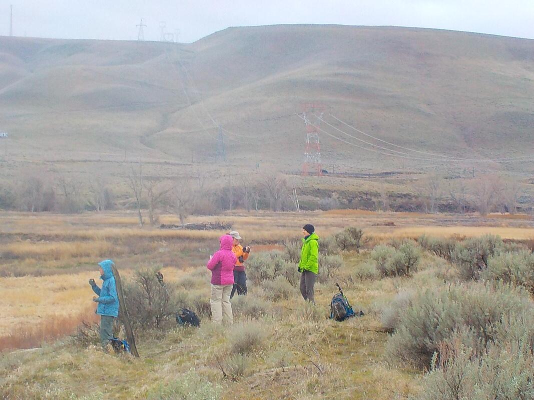
This hike is different from most on the Mid-Columbia River Refuges as it's more of an exploratory adventure than a designated trail. The Crow Butte area of Umatilla National Wildlife Refuge is the approximately 700 acres that comprise the eastern half of the Crow Butte Island, accessed 12 miles west of Paterson, Washington, on Highway 14. To enter the Refuge area, go through the Port of Benton check-in station which charges a fee in season.
For those who want an exploratory hike and also developed amenities such as a very nice shaded RV and primitive vehicle campgrounds, a boat ramp and marina, restrooms, an array of informative interpretive signage and some short paved walking/bicycling trails, Crow Butte is perfect. See https://crowbutte.com/ for more information on the non-FWS side of the Island, including fees and dates they are collected. Explore in winter and you will most probably have the undeveloped area to yourself!
The island is situated along the Northwest Discovery Water Trail, traveled by explorers Lewis & Clark. So another way to access the National Wildlife Refuge side is via kayak, canoe or other boats, although there are no developed landings. Note of interest: Crow Butte Island is a man-made island. After the John Day Dam was constructed, the waters of the Columbia River submerged the land connecting the “island” to the mainland.
Shorebirds, songbirds and migratory waterfowl congregate on and nearby the Columbia River. Due to the trees in the park, the upland habitats on the Refuge, and the river, exciting birds that are normally uncommon in the area can sometimes be found: fall migration can bring in mountain chickadees and American pipits, while the winter season sometimes results in sightings of Clark’s grebes and red-breasted mergansers, and spring and summer can bring sandhill cranes and long-billed curlew. Birds of prey, including bald eagles and cooper’s hawks feed and fly over the island. The River is also a commercial waterway and you are likely to see tugboats and barges, along with fishing vessels, and other assorted craft. A high ridge runs along the length of the island, great for viewpoints up and down the River, and colorful lichen covered rock. You can also hike to a gravelly/sandy beach. The most notable feature of the land is the plethora of deer and coyote tracks and lucky hikers will be able to view the wildlife. This island was once a permanent winter village and traditional cultural property of local tribes, so if you discover any Native American artifacts, leave them where you find them. Please tread lightly when you explore. Beware that reports of tackweeds (goatheads) may be rough on your pet's paws. There are many fading roadways which you can follow. It is difficult to get lost unless you hike in dense fog (don’t) because the Columbia River, WA mainland and built facilities are often in view to help orientate.
Conboy Lake National Wildlife Refuge
US Fish and Wildlife website for Conboy Lake National Wildlife Refuge
The Willard Springs Trail is a two-mile loop along the edge of the open marsh and into the pines. Beginning at the refuge headquarters, it parallels the west shore of the old Conboy Lake lakebed, with views across the lakebed and north to the 12,000-foot Mt. Adams. The trail is the most popular hike in the area and suitable for all skill levels, but it is not officially ADA accessible. The return portion of the Willard Springs Trail uses an old dirt road for approximately 3/4 mile. The trail has some gentle grades. Blackbirds, swallows and some hawks can be seen in the fields. Look for wood ducks and cinnamon teal in the canals near the trail. Cranes can sometimes be seen in the early spring just prior to nesting. Spring is also good for viewing snipe, elk, deer and, of course, wildflowers. Listen for woodpeckers and look for them on standing dead trees. Northern flickers, nuthatches, chickadees, towhees, flycatchers—all frequent the forest. In addition to these, look for such colorful migrants as tanagers, orioles, warblers, grosbeaks and crossbills. Watch the trail for elk or deer tracks. Signs of beaver and porcupine activity are also visible.
Photos by Jan James
Columbia National Wildlife Refuge
US Fish and Wildlife website for Columbia National Wildlife Refuge
The trails on Columbia National Wildlife Refuge are considered primitive and may be narrow, overgrown, uneven, steep, and/or unstable. All trails are in areas that are closed between October 1 and March 1 to provide winter sanctuary for waterfowl. Despite that, the Frog Lake Trail remains open year-round, but you must remain on the trail.
Frog Lake Interpretive Trail
Difficulty: Moderate
The trail is 3.0-miles-long with an elevation gain of 200 feet. Although starting out near Crab Creek, this trail promptly leads into the drier shrub-steppe habitat. Don't look for Frog Lake—it no longer exists! After meandering past striking columnar basalt formations, the trail ascends, circling the top of a mesa and provides a beautiful view of the surrounding refuge landscape.
Marsh Loop
Difficulty: Easy
The Marsh Loop is about 1.8-miles-long and, except for a small incline down from the parking lot, has no elevation change. This trail follows Crab Creek and circles two marshes, remaining in the lowlands near wetland habitat.
Crab Creek Trail
Difficulty: Moderate
This trail forms a 1.0-mile-long loop that primarily follows Crab Creek, immersing one in its riparian habitat. With scattered willows and large patches of wild rose and golden currant, this trail is a favorite among birders. For an extended hike, you may follow an additional 3/4-mile section of trail connecting the Crab Creek Trail to the Frog Lake and Marsh Loop trailheads. Caution: The primitive stairs that lead you out of the marsh to the top of the bluff are not always stable.
Black Lake Trail
Difficulty: Easy
This trail is about 3/4-miles in length one-way, but you must backtrack to return to your vehicle. The trail crosses a picturesque bridge over Crab Creek and then takes you on a dike to Black Lake, which is located off the refuge. You will find ant highways, as well as beaver paths crossing the dike.
Hanford Reach National Monument
Hanford Reach National Monument website
Hanford Reach National Monument website
Hanford Reach White Bluffs Trail North
US Fish and Wildlife White Buffs geology
Washington Trails info
US Fish and Wildlife White Buffs geology
Washington Trails info
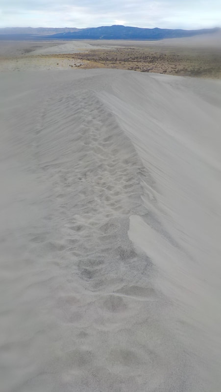
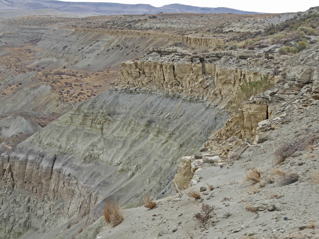
The Hanford Reach White Bluffs Trail North (there is no official name for this trail) is a great way to see some of the Hanford Reach National Monument by foot, especially in the cooler and bird-rich months of fall, winter and early spring. From WA-24, turn south at milepost 63 (signed). Drive south to the turn-off (signed) for the White Bluffs Boat Launch, about 6 miles. Drive about 4 miles in the direction of the Boat Launch. The trail starts in the upland area near a grove of trees, less than a mile above the White Bluffs launch, and on the right (north) side of the paved road. If you have a GPS, the coordinates are 46.6772, -119.4446. No parking permits are needed. Camping is prohibited. There is cellphone coverage, at least at the parking area. There is no water en route so come prepared. Also, there are no toilets at the trailhead but port-a-potties are provided at the White Bluffs Boat Launch. Boaters may want to know that the concrete Boat Launch is narrow, with two lane capacity and is closed to launching of motorized craft from November 1 through June 30 to provide a sanctuary for overwintering waterfowl.
Although the trail is not constructed nor marked, through the years this popular route has become easy to follow. You can walk “forever” but most people make the 2 miles to the first big sand dune, and some proceed another 1.5 miles to the second dune. Some hikers continue cross-country, just be careful that you don’t crush the cryptobiotic soils and wildflowers. Bring binoculars as the water bird life, deer and elk are plentiful, especially down by the Columbia River and wetlands. Hikers can view some of the historic reactors in the Hanford area, a the impressive cliffs of the Ringold Formation.
Although the trail is not constructed nor marked, through the years this popular route has become easy to follow. You can walk “forever” but most people make the 2 miles to the first big sand dune, and some proceed another 1.5 miles to the second dune. Some hikers continue cross-country, just be careful that you don’t crush the cryptobiotic soils and wildflowers. Bring binoculars as the water bird life, deer and elk are plentiful, especially down by the Columbia River and wetlands. Hikers can view some of the historic reactors in the Hanford area, a the impressive cliffs of the Ringold Formation.

Photos by Jan James and Jaynee Levy